Follow us:
WHY UAV SURVEYS ?
- Increased safety by reaching places that are unaccesible for staff
- Save costs and time by using UAV survey for large areas and mapping
- Get high quality data through point cloud generation
MH DRONES OFFERS :
- RTK drone measurements
- Georeferenced data
- Extra survey services on top to complete mapping data where drone surveys stop
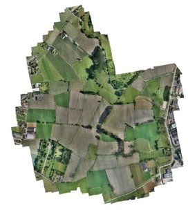
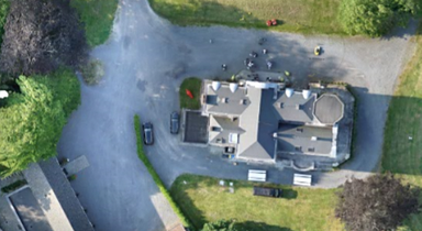
- Full orthophoto with accuracy 5mm - 20 mm/Pixel
- Assured geometrically correct data to integrate easily in your software
- We offer Post processing services for DTM generation, volume calculation, risk assessment, GIS applications, Contour Maps, ...
WANT TO WORK WITH US?
Copyright @MH drones